
Geographical Features
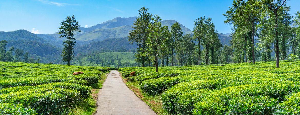
Vythiri is a major village panchayat situated in the mountainous region of Wayanad district. Blessed with incredible natural beauty and a unique environment, the main geographical features of this region are as follows:
- Topography: As a proud part of the Western Ghats mountain range, this area is filled with high mountain ridges, steep hills, and deep, lush valleys.
- Altitude: The panchayat sits high above sea level, with elevations ranging from 700 meters up to 2,100 meters.
- Climate: The region enjoys a wonderfully cool, pleasant, and humid climate. It receives most of its annual rainfall from the South-West Monsoon, locally known as Idavappathi.
- Land Use: The land is beautifully utilized for thick natural forests, vibrant green tea gardens, coffee plantations, and extensive black pepper cultivation.
- Water Resources: Numerous small rivers, streams, and brooks flow through this region. These serve as vital water sources connected to the Kabini River basin—the lifeline of Wayanad.
- Soil Type: The ground is rich in red laterite soil and fertile forest soil, making it absolutely perfect for growing a wide variety of plantation crops.
- Transportation: The region holds immense transport importance, as the vital Kozhikode-Mysore National Highway (NH 766) passes right through the heart of Vythiri.
- Tourism Potential: Thanks to its pristine natural beauty, mystical rolling fog, and rich wildlife, Vythiri has successfully placed itself on the global map as a world-class tourist destination.